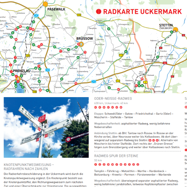
In a node system for (cycle) routes, it is not the routes that are numbered, but the points where two or more routes intersect or converge. This means that a cyclist arriving at a numbered node always has a choice of at least two subsequent nodes. This makes planning a route child’s play, regardless of whether it is a short afternoon trip, a weekend tour of a province or a longer cycling holiday across the country. The only thing that changes is the number of nodes.
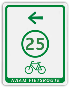
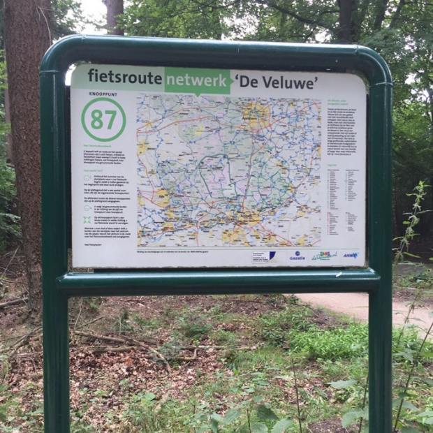
When a node cycling system is signposted, using it is simply a matter of following signs with a number on them. We distinguish between a number of standardised signs. The below images show examples of how they are used in the Netherlands.
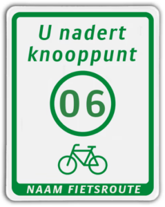
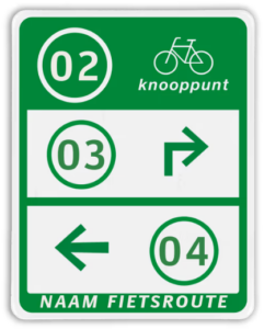
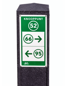
At each node (junction), you will find a sign with the number of the node you are currently at, plus arrows pointing to adjacent nodes. Between junctions, signs guide you along the correct roads or paths. If necessary, there may even be a sign warning you that you are approaching a junction. This ensures that you will not get lost. Clarity and simplicity – that is what the node network is all about.
In Belgium, the Netherlands and Germany, the node cycle routes are fully signposted. Naturally, VeloPolska’s goal is to achieve the same situation in Poland. Cyclists can plan their route in various ways:


Author’s comment
The node cycling route system is ingenious in its simplicity. I consider this so important that I am dedicating a separate paragraph to it. Numbering (cycle) routes was a familiar concept, but it had its drawbacks: with a large number of routes, it could quickly become chaotic, partly because sections often had to have more than one route number. Numbered nodes have solved this problem. In the Netherlands and Belgium, a hybrid solution is now being used: node numbers as the basic network in combination with both national routes (numbered or with a theme name) and the international EuroVelo routes.
I grew up in the Netherlands. I often didn’t even notice the node signs, they were so obvious to me. And as is so often the case, you only realise the value of something when you no longer have it. I enjoy cycling, and Mazovia, the province where I live, has enormous (and largely untapped) cycling potential. Other regions in this beautiful country, including the less obvious ones, are also crying out to be explored and loved. I believe that a simple system that clearly shows where it is worthwhile to cycle can help with this. Just as it has helped in Belgium and the Netherlands, where the node systems became so successful that they now also exist for walkers and horse riders.